Keléstia Productions have published the fifth issue of Atlas Keléstia. It describes map square SHKN-G7 (Létryn), an area located in northern Loála on the central Shôrkýni coast.
Atlas Keléstia SHKN-J6 (Tîrghavn) Published
Keléstia Productions have published the fourth issue of Atlas Keléstia. It describes map square SHKN-J6 (Tîrghavn), the lands at the mouth of the mighty Tîrga River.
Atlas Keléstia SHKN-H7 (Trepûra) Published
Keléstia Productions have published the third issue of Atlas Keléstia. It describes map square SHKN-H7 (Trepûra), a cape located on the central Shôrkýni coast.
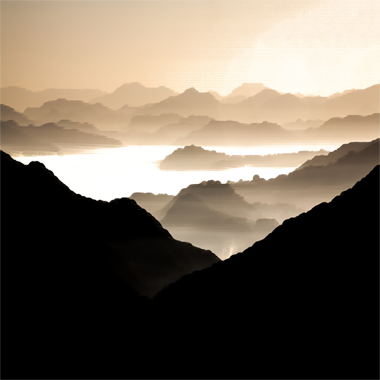
Maps: Utherlund
Quadrant H4 of the Ivinia map, a land of mighty fjords, thundering waterfalls and icy peaks.
Atlas Keléstia SHKN-J5 (Ôrgetkin) Published
Keléstia Productions have published the second issue of Atlas Keléstia. It describes map square SHKN-J5 (Ôrgetkin), a mostly wilderness area along the border of eastern Lédenheim and western Huriséa.
Atlas Keléstia ‘relaunched’
Keléstia Productions is pleased to announce the ‘relaunch’ of Atlas Keléstia. Each issue will describe a piece of the world of Kèthîra, also known as HârnWorld, and includes a layered PDF map showing 625 square leagues of high-resolution vegetation and relief, with detailed geographical features, towns, castles, keeps, villages, shrines, mines, peaks and more. Notes […]